FOUNDATION PROJECTS

Registrations for the 2026 IDA Conference are now open.

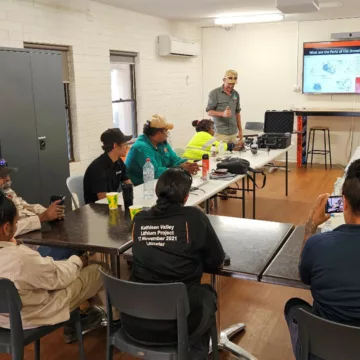
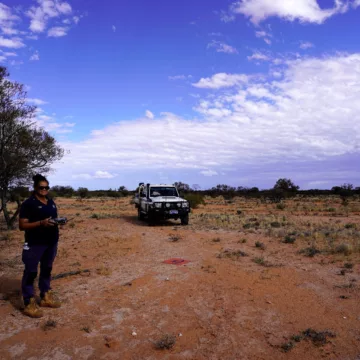
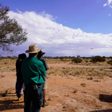
How do you create good, smooth video content with a drone? How do you use drones to make 3D models of rocky outcrops and other landforms? What do Malleefowl nests look like from the air, and how can you capture coordinates to later inspect on foot? These are some of the questions the Tjiwarl Rangers had answered during three on Country drone training workshops with a land management technology specialist Right Place Geo.
March – July 2025
Tjiwarl Native Title Area
Central Desert
Western Australia
Tjiwarl Rangers, Right Place Geo,
"We learnt about mapping and gridding. When it’s hard to get somewhere we can put the drone up and look that way!" – Vicki Abdullah, Tjiwarl Ranger
"I have learnt a lot of new skills in the drone training. I didn’t think I would know how to map an area or to save data for use in the future but now we know how to do this. We will use our data to manage our own country. It’s a good outcome for all of us." – Jordan Lewis Senior, Tjiwarl Ranger Coordinator
Delivered on Country, the drone training workshops strengthened the Tjiwarl Rangers’ ability to see, understand and protect their landscape in new ways.
In recent years, Indigenous ranger programs have begun using drone technology to strengthen cultural authority, improve care for Country, and extend ranger capability across large, remote and sometimes inaccessible landscapes. Drone photography and mapping combines new technology with ancient culture and helps ranger teams consult, share information and report on project activities with Elders and community members who may be unable to visit Country regularly. The reasons for using drone technology are practical, cultural and strategic rather than purely technical.
"This project was needed to strengthen the skills and knowledge of Rangers working on Country." – Tiarma Harris, Traditional Owner

Through hands‑on learning, Tjiwarl Rangers have built the skills to map and record cultural and environmental features across vast areas. The training transformed how the team works by giving Rangers the ability to map Country themselves, keep their own records and maintain ownership of important information without relying on external support.
rangers obtained CASA Operator Accreditation
workshops by Right Place Geo
people involved
This new capability builds confidence, independence and long‑term strength, ensuring one of Australia’s great desert landscapes continues to be cared for by Tjiwarl people, on their own terms.

Eager to make a lasting impact alongside desert Rangers and Traditional Owners?
Donate today or contact foundation@indigenousdesertalliance.com to learn more.

Warning: Aboriginal and/or Torres Strait Islander peoples should be aware that this website may contain images, voices and names of people who have passed away which may cause sadness or distress.