Ngurra Yulpararra
5 minute watch
A film by the Ngururrpa Rangers about looking after country using drone mapping.

Registrations for the 2026 IDA Conference are now open.
5 minute watch
A film by the Ngururrpa Rangers about looking after country using drone mapping.
“Our elders were using their minds to map out country, nowdays we have the drone to map out country”
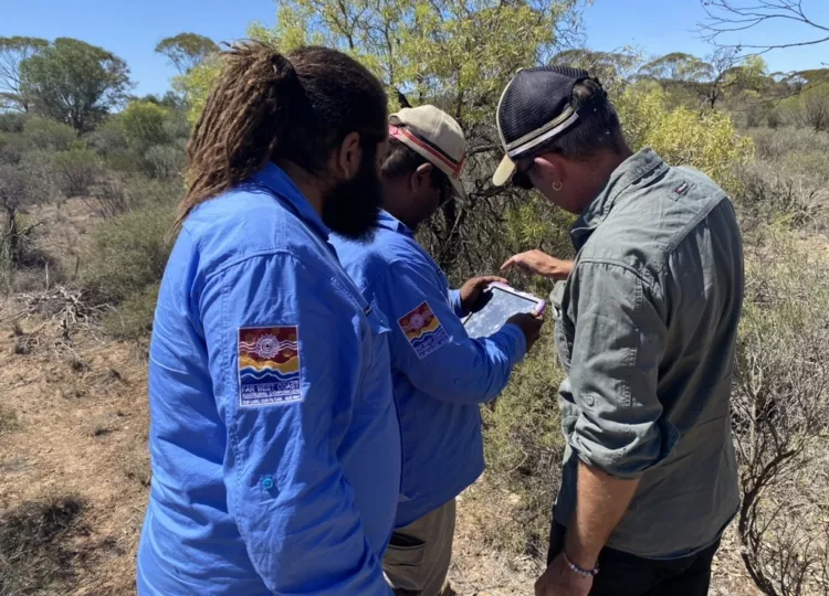
The Ngururrpa Rangers trained with Staf Smith from Right Place Geospatial at Balgo Community and Yagga Yagga in Western Australia to develop their drone operation skills. This was a big step forward for the Ngururrpa Rangers who are now planning to use a drone to map out landscapes and support their work looking after threatened species.
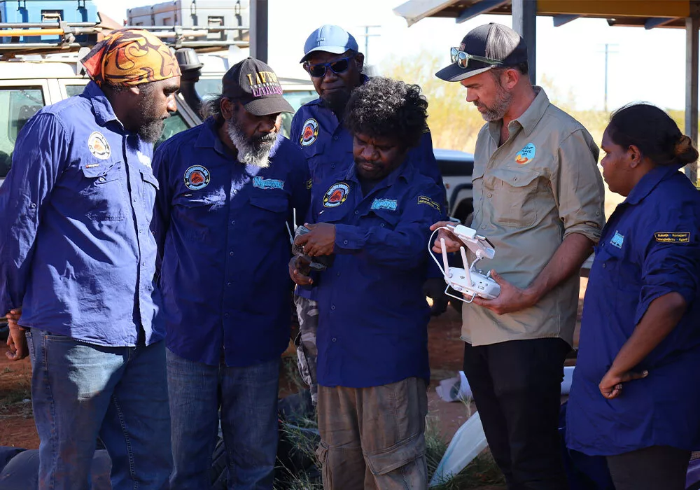
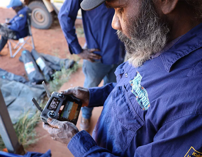
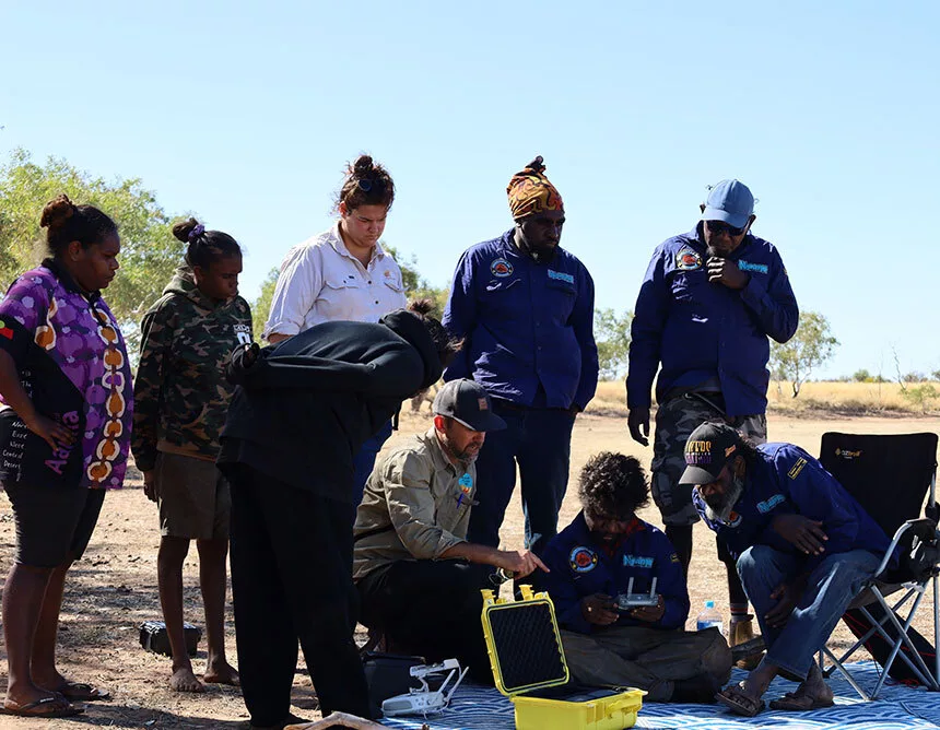
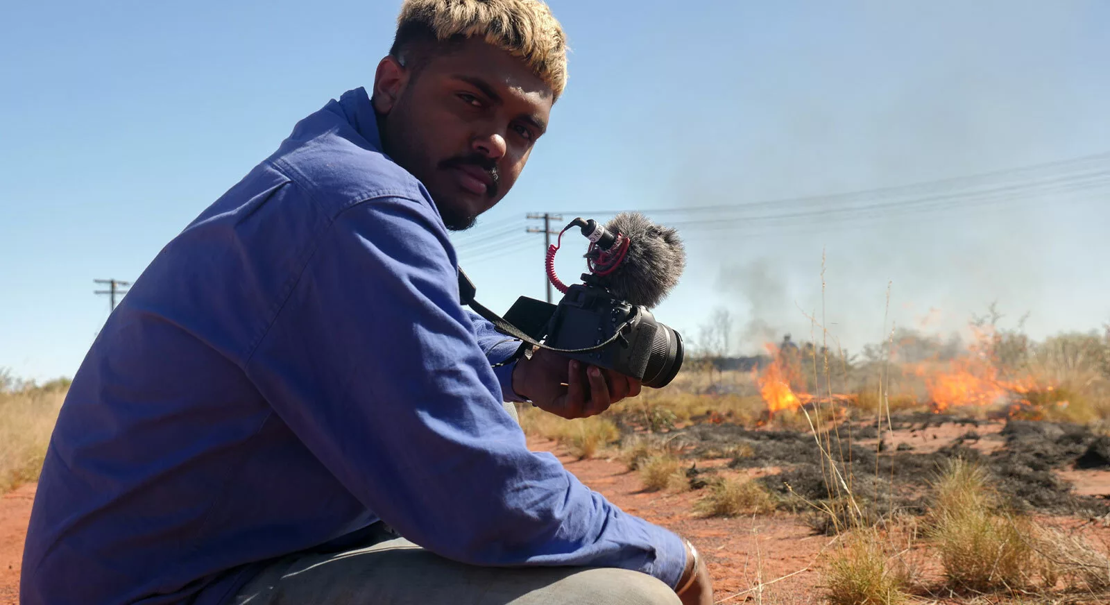
This film was created by Kerenza Sunfly, a young Ngururrpa man, in collaboration with the Ngururrpa Rangers and the Indigenous Desert Alliance. Kerenza was inspired to show how rangers are using drones to map country the right way. Kerenza says that “operating drones out on country has been really important and has become very popular these past few years because it lets rangers see country like they’ve never seen before, it’s very useful and also very helpful to our elders.”
Kerenza works with the media and ranger development teams at the Indigenous Desert Alliance.
Thank you to Lotterywest for supporting the IDA's Ranger Development Program and its activities.
 Read
Story
Read
Story
 Read
Story
Read
Story
 Read
Story
Read
Story
 Read
Story
Read
Story
 Read
Story
Read
Story
 Read
Story
Read
Story
 Read
Story
Read
Story
 Read
Story
Read
Story
 Read
Story
Read
Story
 Read
Story
Read
Story
 Read
Story
Read
Story
 Read
Story
Read
Story
 Read
Story
Read
Story
 Read
Story
Read
Story
 Read
Story
Read
Story
 Read
Story
Read
Story
 Read
Story
Read
Story
 Read
Story
Read
Story
 Read
Story
Read
Story
 Read
Story
Read
Story

Warning: Aboriginal and/or Torres Strait Islander peoples should be aware that this website may contain images, voices and names of people who have passed away which may cause sadness or distress.